Earth Observation in your pocket

Earth Observation in your pocket
Have you ever imagined carrying satellites in your pocket?
Have you ever imagined carrying satellites in your pocket?
Have you ever imagined carrying satellites in your pocket?
Earth Observation uses satellite imagery to monitor our planet. By analysing spectral signals captured from space, satellites detect patterns that are not visible to the naked eye, helping to better understand land, water, and vegetation.
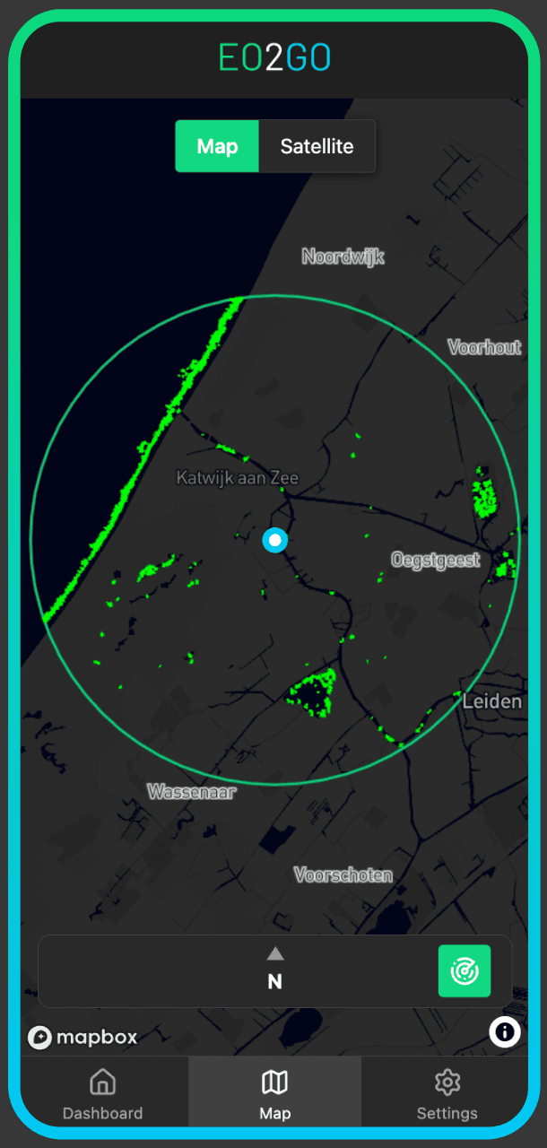
EO2GO Environmental App makes satellite data simple and available directly on your smartphone.
Built around the Satellites-to-People concept, it enables farmers, fishermen, citizens, and authorities to monitor crops, soil, water, and environmental changes in their immediate surroundings.
The goal is simple: ensure everyone understands what is happening in their area resulting in cooperative, educational approach to manage our lands and water.
Earth Observation uses satellite imagery to monitor our planet. By analysing spectral signals captured from space, satellites detect patterns that are not visible to the naked eye, helping to better understand land, water, and vegetation.
EO2GO Environmental App makes satellite data simple and available directly on your smartphone.
Built around the Satellites-to-People concept, it enables farmers, fishermen, citizens, and authorities to monitor crops, soil, water, and environmental changes in their immediate surroundings.
The goal is simple: ensure everyone understands what is happening in their area resulting in cooperative, educational approach to manage our lands and water.


Surface water extent
Surface water extent
Monitor lakes, reservoirs, and surface water extent with satellite precision — anytime, anywhere.
Surface water extent
Monitor lakes, reservoirs, and surface water extent with satellite precision — anytime, anywhere.
Water quality insights
Water quality insights
Identify surface water anomalies and quality indicators using satellite data.
Water quality insights
Identify surface water anomalies and quality indicators using satellite data.


Smart crop health
Smart crop health
Track crop health and detect early signs of vegetation stress.
Smart crop health
Track crop health and detect early signs of vegetation stress.
Drought monitoring
Drought monitoring
Identify areas of potential vegetation stress and support irrigation planning.
Drought monitoring
Identify areas of potential vegetation stress and support irrigation planning.


© 2025 Hydramo B.V. All rights reserved.
© 2025 Hydramo B.V.
All rights reserved.
For People & Planet
For
People & Planet